Special exhibition "MAPS KNOWLEDGE SEA - Globalization from the water" opens digitally
What types of nautical and marine charts were and are there? How were they made and used? What stories are associated with the surveying of the oceans and their depiction in maps? The special exhibition "KARTEN WISSEN MEER - Globalisierung vom Wasser aus" at the German Maritime Museum (DSM) / Leibniz Institute of Maritime History explores these questions. Due to Corona, it will be opened next Wednesday, November 25, at 5 p.m. first with a digital guided tour and hands-on offer. It can be viewed on site as soon as the museum is allowed to reopen.
Flying from Europe to America in two seconds, circumnavigating the globe and grasping the dimensions of the Pacific - it's possible, with your finger on the sea chart or on the globe. From November 25, 2020 to March 14, 2021, the DSM will show the traveling exhibition KARTEN WISSEN MEER. The digital opening can be viewed on YouTube and on Facebook at 5 p.m. Wednesday, Nov. 25.
"I am very pleased that in these challenging times we can make an exhibition opening possible that guests can follow from home," says Prof. Dr. Sunhild Kleingärtner, Executive Director of the DSM. "KARTEN WISSEN MEER makes clear how strongly navigation depends on technical achievements and precise scientific documentation. Today, it is digitization that is driving this progress - in navigation, but also in our museum work."
After a few brief welcoming remarks highlighting the exhibition from different perspectives, curator Dr. Frederic Theis will take interested visitors on a virtual tour of the show. He will also be available to answer questions during the opening via the comment function. On the opening day, the exhibition's website will also feature various digital offerings - including a blog on the topic and an interactive web special that allows interested parties to create their own maps.
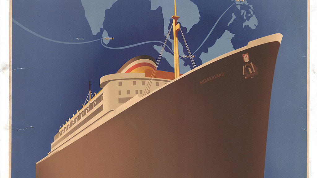
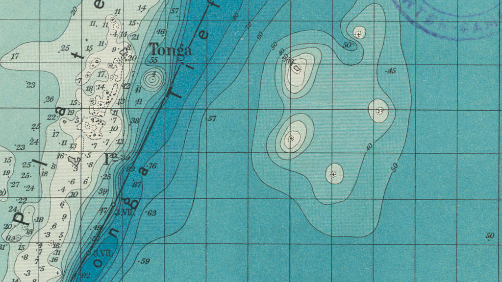
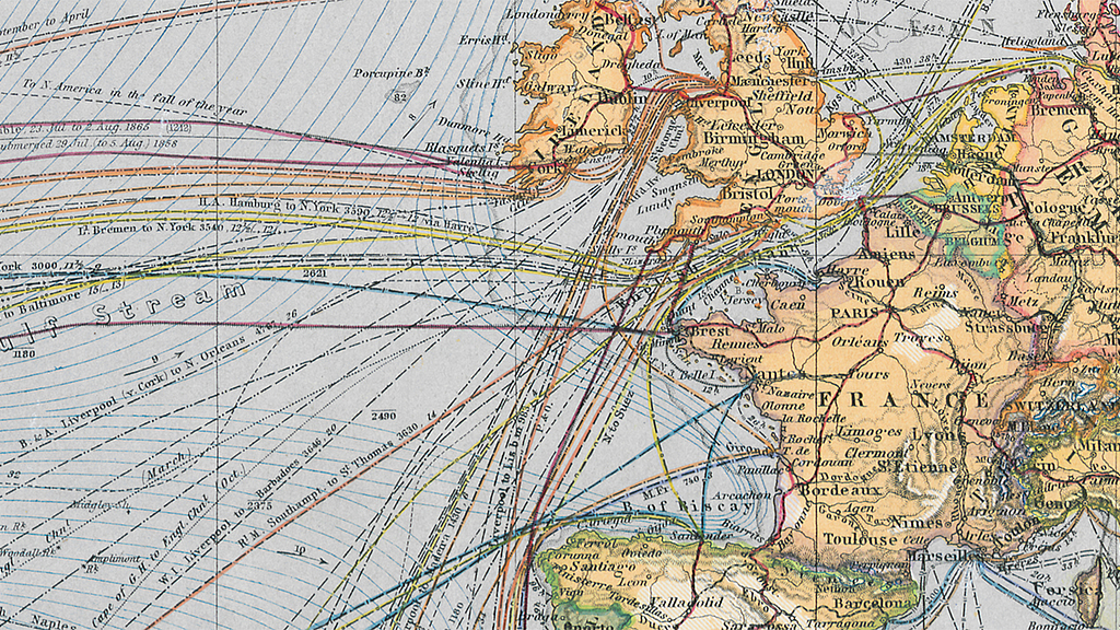
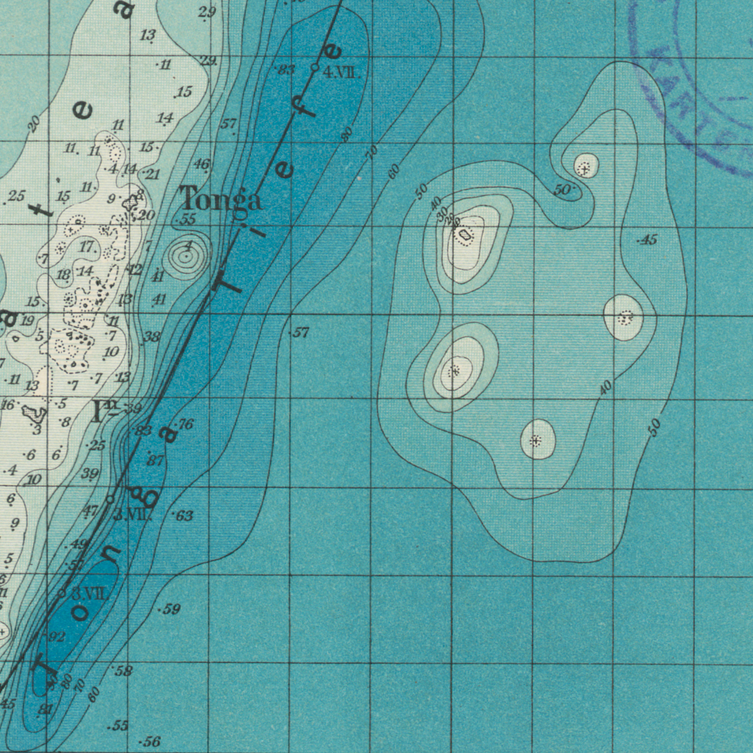
The exhibition itself consists of five thematic islands. They highlight both the diversity of maritime maps and the methods and processes by which maps were produced and used. While 17th- and 18th-century marine charts were often still colorful works of art, sometimes showing islands that did not (or did not) exist, over the course of the 19th century the sheets increasingly transformed into sober media of marine science, depicting wind, current, and depth conditions at sea, oceanographic features, or the navigation marks laid out for the purpose of safe navigation.
"The idea of mapping oceans is very old in itself," says Dr. Frederic Theis, curator of the traveling exhibition, which was created in collaboration with the Gotha Research Center and the universities of Erfurt and Bremen. "In the 19th century, marine cartography became more scientific, capturing the Earth's oceans and coasts on an increasingly global scale. We are pleased to exhibit sea and ocean maps that on the one hand provide an overview, but on the other hand also offer exciting insights into the global interconnections of the previous century."
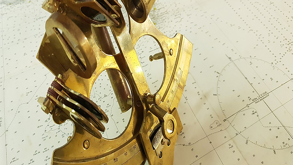
On display will be 63 analog and digital reproductions of historical sea charts from the DSM's collection as well as from the Perthes Gotha Collection; also other chart-related objects such as ship models, historical navigation instruments such as sextants, plumb bobs, or chronometers, and explanatory books and graphics that focus on the people who produced or used charts.
A sound experience lets writers, explorers and seafarers of the past have their say and shows their very own view of maps, marine research and the globalization of the 19th century.
KARTEN WISSEN MEER is funded by the German Federal Ministry of Education and Research, the Leibniz Research Museums Action Plan "A World on the Move" and the DSM Sponsors' Association. The exhibition will be on view at the DSM until March 14, 2021 and will then be shown in Gotha.