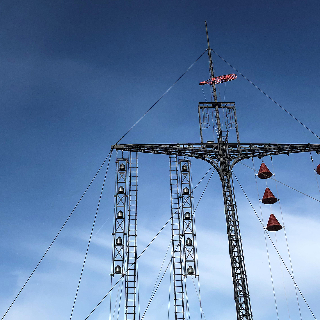
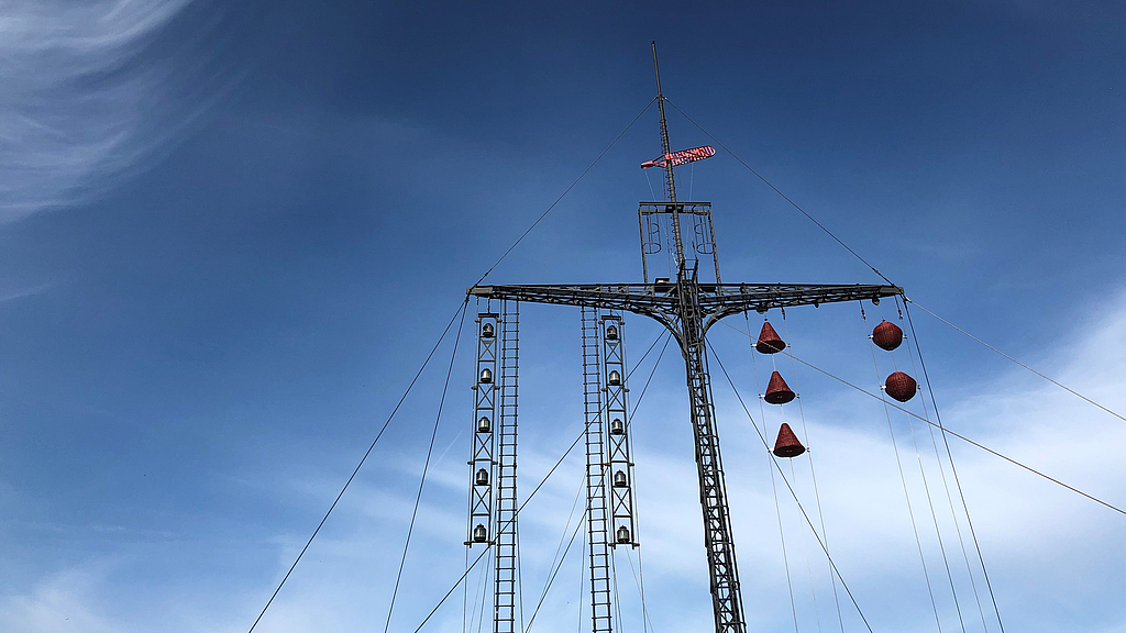
Water level indicator
Since 1903, the water level indicator has been located on the Weser dyke, showing the water levels in the Geeste estuary until 1973. From 1973 to 1990, the signal mast served to draw attention to obstructions to navigation or fairway closures. Since then it has no longer had any functions. Today, however, it is considered a remarkable technical monument and is one of the few remaining devices that used to provide important information to shipping by means of optical signals.
The water level indicator consists of a steel lattice mast with yards and rods and is attached by wire ropes. The signals were given by balls and cones made of wickerwork, which indicated the directions of the tidal currents, the water levels as well as navigation obstructions and fairway closures. The signal bodies were first raised or lowered on the mast with a hand-operated winch, and later with a mechanically driven winch - depending on the height of the current water level.
An additional red flag signalled water levels below sea level and a red arrow above the yard low or high tide. Black balls were raised during storms. At night, white or red lights indicated the water level and green lights informed about the tides. Today, automated techniques are replacing this laborious manual operation. The brick building next to the water level indicator, which now serves as a kiosk during the summer months, was the former residence for the service staff.

© DSM / Mareike Heger