How ships characterize our world view
Do you know that without ships and shipping, not a single encyclopaedia, including Wikipedia, and not an atlas would look the way we use them today?
Let us show you in our new exhibition on so-called spatial development how ship navigation and the ability to orientate oneself on and above the sea developed and how the perception of the world changed as a result. Discover with us how shipping routes, navigation techniques, mapping and circulating knowledge are connected.
Knowledge and navigation in the early modern period (16th-18th century)
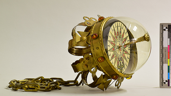
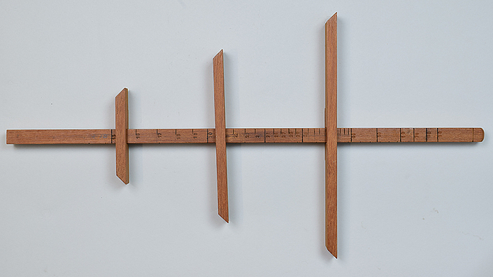
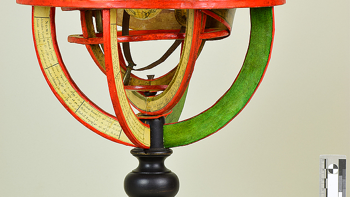
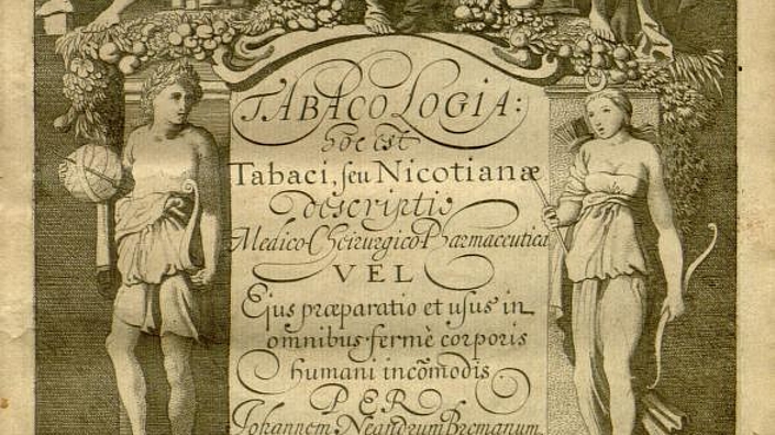
Shipping has opened up the European world. Travel from the Atlantic to the Pacific in our exhibition and experience how James Cook's (1728-1779) voyages of discovery in the 18th century also became famous in the Holy Roman Empire of the German Nation. With replicas and hands-on models, you can experience the meaning of dead reckoning navigation or the role of the stars in orientation at sea. In addition to objects from maritime history, the exhibition also deals with things that still partly determine our everyday life: In addition to bacteria such as the syphilis pathogen Treponema pallidum [note: Latin name cursive], tobacco plants and cocoa beans travelled by ship to Europe for the first time in the early modern era.
Global networks and technical innovations - the 19th and early 20th century
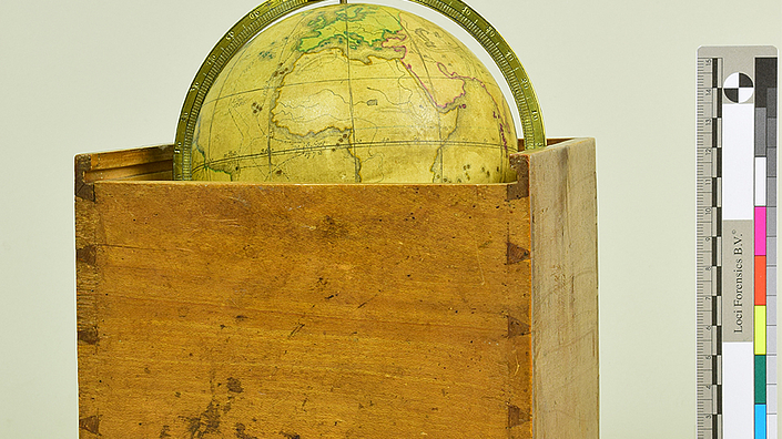
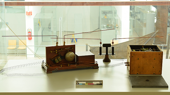
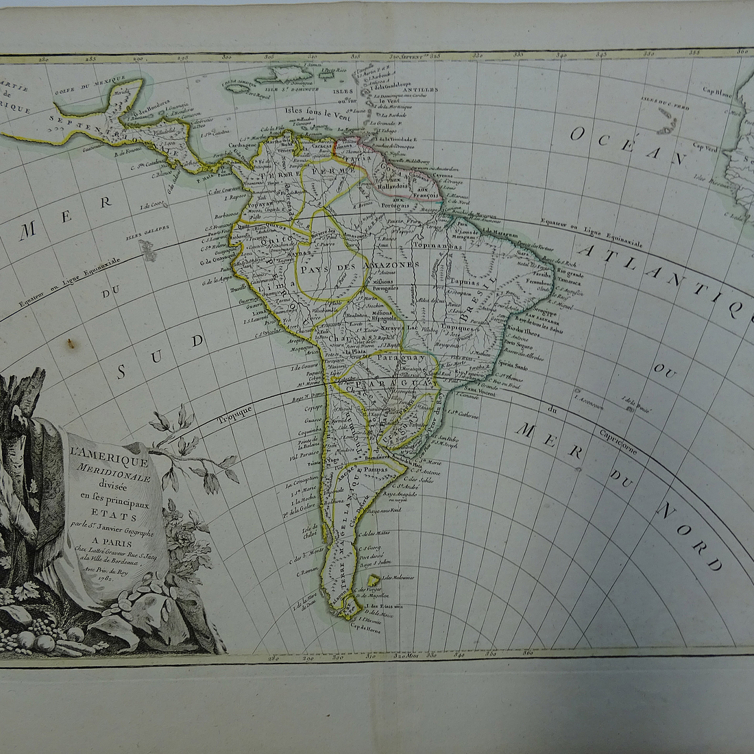
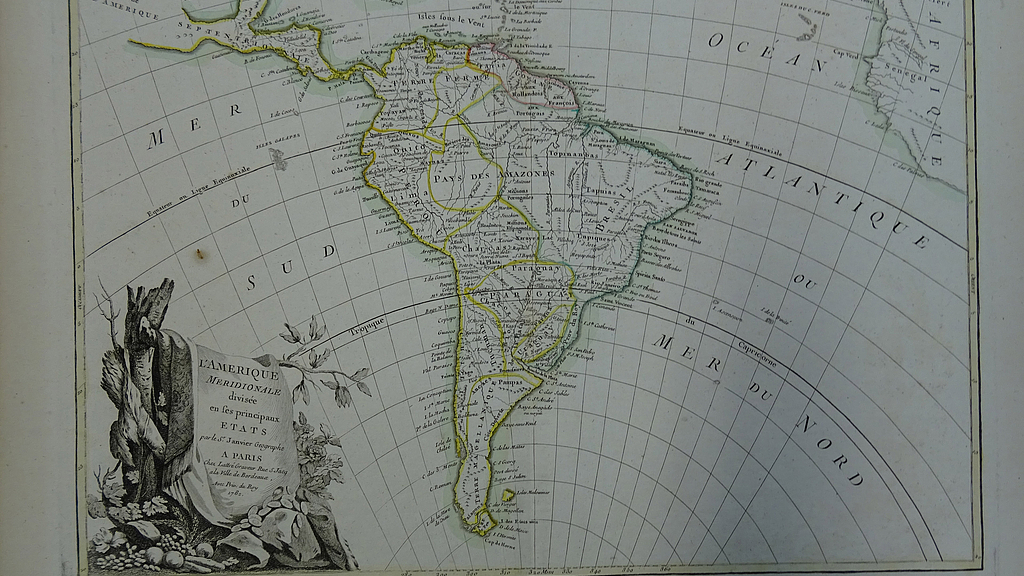
The 19th century is the epoch in which not only the sea was mapped as an area, but also its depth was measured for the first time. The museums in the European and American capitals benefited from the fundamental upheaval brought about by the change from sailing to steam navigation: Only in this way could they use imperial gestures to bring together in their rooms images and artifacts from the entire world. The 19th century was also the age in which the reception of charts became more and more widespread. Let us ask what the relationship was between shipping and atlases and maps presenting the ocean. Two unique originals from our collection show how space exploration, technical innovation and navigation were connected: Gyro compass and telemobiloscope not only reveal mechanisms of location and bearing, they take you as a visitor* into the time around the turn of the 19th and 20th centuries.
Further reading
Ballantyne, Tone (Hrsg.): Science, Empire and the European Exploration of the Pacific, London 2004.
Buchet, Christian (Hrsg.): The Sea in History: The Early Modern World. Le période modern, Woodbridge 2017.
Mariss, Anne: “A World of new things”: Praktiken der Naturgeschichte bei Johann Reinhold Forster, Frankfurt am Main/New York 2015.